
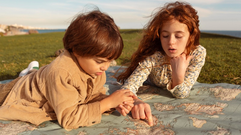
Maps bring geography and history to life in a Charlotte Mason homeschool, helping children build mental maps and connect stories with real places.
In a Charlotte Mason homeschool, mapwork is a way of helping children develop a relationship with the world they are learning about. A map gives a place its position, but stories, history, geography and personal experience give that place meaning.
Charlotte Mason regarded maps as an essential part of geography because they allow children to connect what they hear and read with an actual place on the earth. Rather than memorising lists of countries, capitals, rivers and exports, children are encouraged to form a picture in their minds of the places they are learning about.
For a South African child, this can be especially valuable. Our history is tied to particular rivers, springs, mountains, towns, coastlines and routes across the country. A map helps children see those connections.
Begin with the Real World
One of the important principles behind Charlotte Mason’s approach to geography is that children should encounter the real thing before being expected to understand its representation.
A young child does not need to begin by memorising the symbols and conventions found on a political map. He can first become familiar with the space around him.
He can notice where the sun rises and sets. He can learn to recognise north, south, east and west. He can walk around his garden, measure distances by pacing and draw a simple representation of his surroundings.
Perhaps he draws a map showing the house, the vegetable garden, the gate and the big tree. It may not resemble a professionally produced map, but he is beginning to understand something important: a map represents a real place that he knows.
As children grow, their understanding of space can grow with them. The familiar garden and neighbourhood gradually give way to their town, province, country and eventually the wider world.
The map becomes a symbol of something the child is learning to picture in his mind.
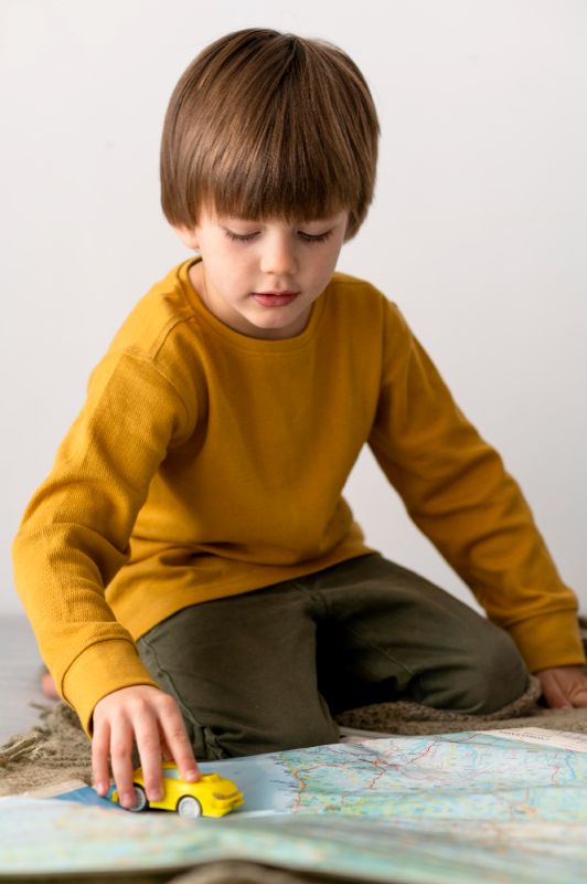
Learning through Play: Boardgames and Puzzle Maps
Although puzzle maps and boardgames were probably not an option in Charlotte Mason’s era, they are another enjoyable way to help children become familiar with the world. Over the years, we invested in various puzzles of the world and of different countries as a family activity, allowing children to become familiar with the shapes and positions of countries while they were simply having fun putting the pieces together, often during our read-aloud times.
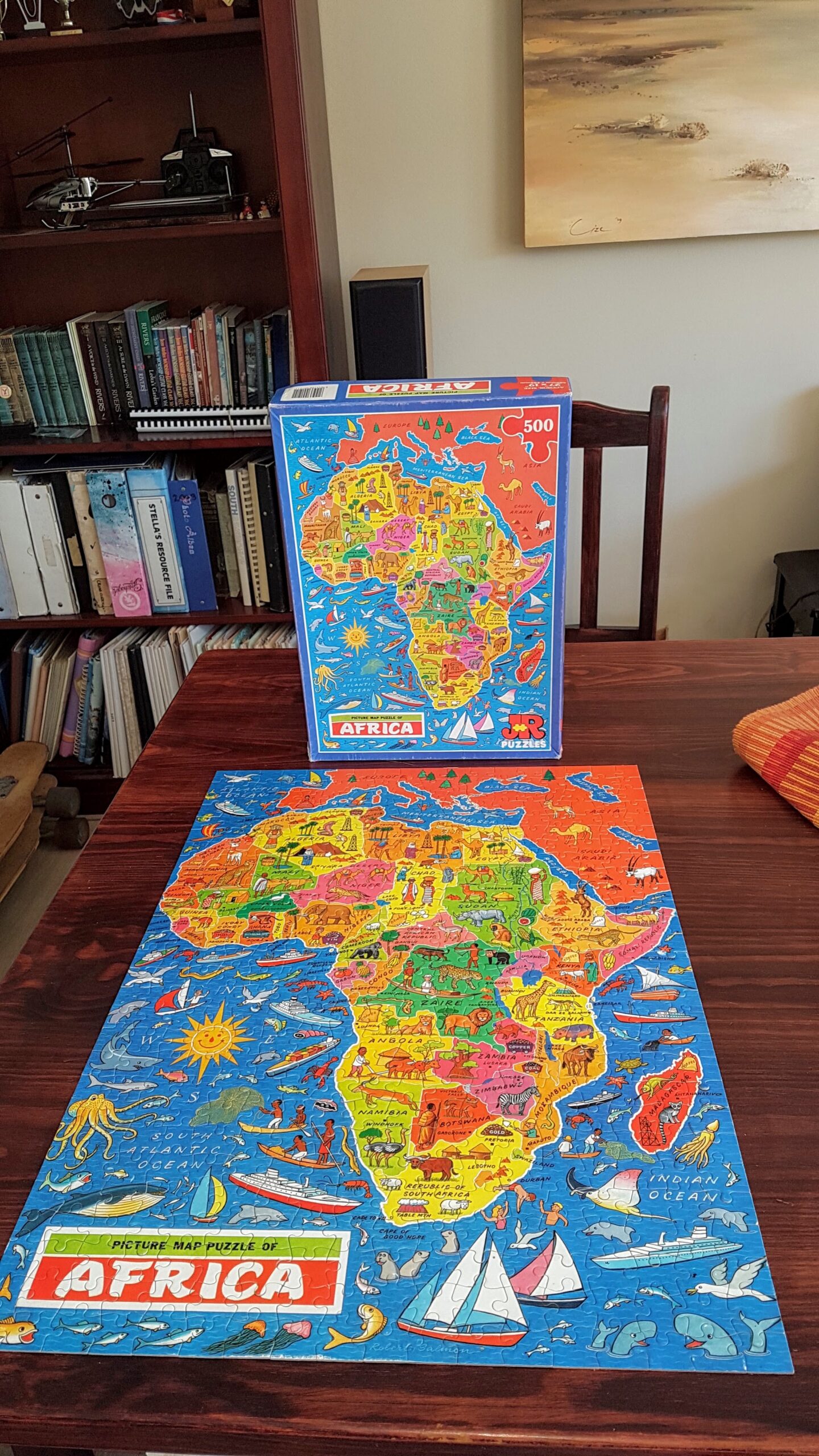
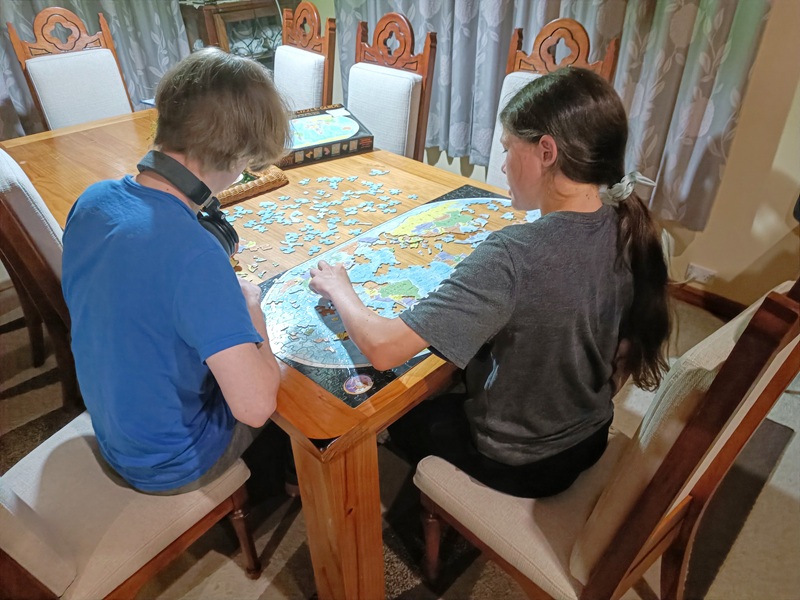
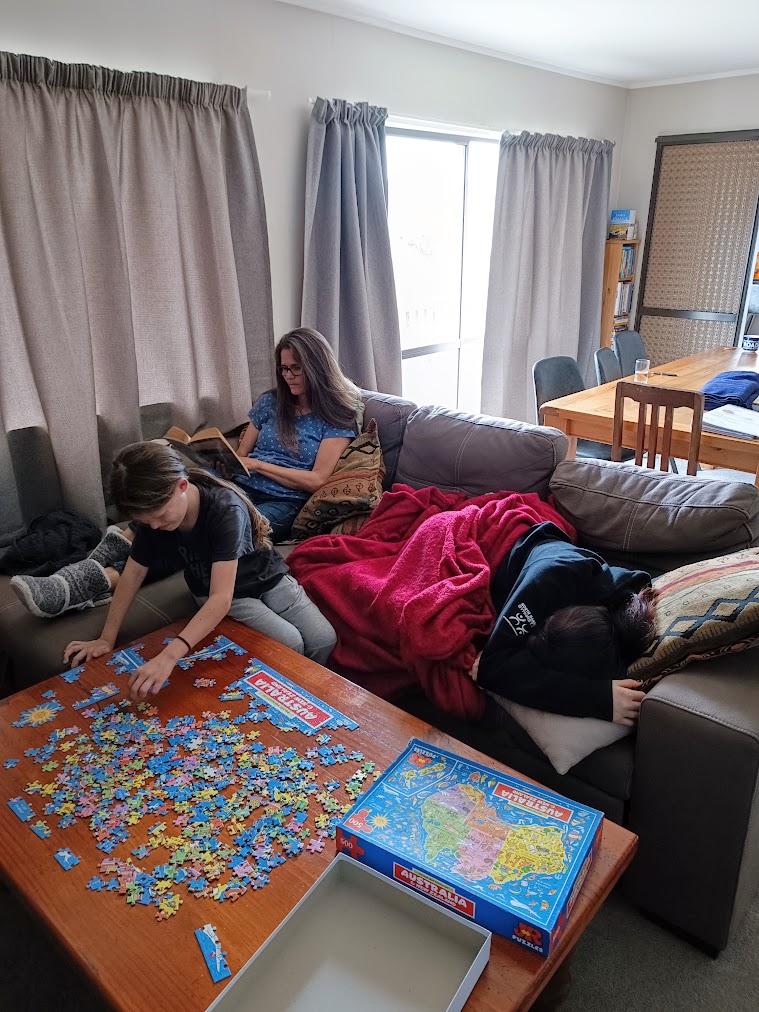
Puzzle maps are a fun way to learn geography in a Charlotte Mason Homeschool in South Africa.
There is something very different about building a map than simply looking at one in a book. As children search for the piece that fits, they begin to notice the shape of a country, its neighbours and its position in relation to the rest of the world. Little conversations and questions provide natural opportunities to talk about geography.
Puzzle maps are particularly useful for children of all ages, helping them build a mental picture of the world through familiarity, observation and play, just as Charlotte Mason intended.
Boardgames using Maps
Learning South African geography can also be an fun engaging activity through boardgames. While at its core The Next Stop / Die Volgende Stop is a lively timed quiz game, its gameboard is an actual map of South Africa. Instead of moving along a random track, players navigate real routes connecting towns, cities and landmarks across the country. As children answer questions to drive their car pieces to the next stop, map reading and spatial geography become a hands-on, memorable adventure for the whole family.
In Die Groot Trek Boardgame, Afrikaans families can follow the trail of the Voortrekkers from the Eastern Cape to the northern parts of our country and learn more about history and the Great Trek in another engaging family game, played on a map of South Africa.
-

Die Volgende Stop Bordspeletjie
R410.00 -

The Next Stop Board Game
R410.00 -

Die Groot Trek Bordspel
R400.00
A Map Gives a Story its Place
Charlotte Mason’s geography was closely connected to stories. A map can tell us where a place is, but a living book can tell us what it is like to be there. It can introduce us to the landscape, people, animals, weather, work and history of a place.
This is why mapwork fits so naturally alongside living books.
When a child reads about a journey, he can find the starting point and follow the route. When a river is mentioned, he can locate it. When a historical event takes place in a particular town, he can find that town and see where it sits in relation to the places he already knows.
The map gives the place its position.
The story gives the place life.
This simple combination can transform a name on a page into somewhere the child can imagine.
Give Your Reading a Sense of Place
Charlotte Mason’s approach also gave children opportunities to study a map closely before encountering a geographical narrative.

Before diving into a story or history lesson, take a minute or two to explore a map together with your child. Instead of asking them to memorise location names, turn it into a fun game of discovery!
Point out key features and ask visual questions like, “Which river cuts through this area?” or “What mountains would someone have to climb over to get to this city?”
After looking it over, challenge them to close their eyes or look away and picture the landscape. Can they remember which way the river flows or where the mountain range sits? Over time, this quick warm-up builds a rich mental map of the world.
Over time, this quick warm-up helps children develop a detailed mental picture of the places they encounter in their reading. Then, keep that map or globe handy while you read!
You do not need to turn every mention of a place into a formal geography lesson. Simply pausing for a second to point out real places as they pop up, whether it is Durban, the Limpopo River or the Drakensberg, gives those names instant context. It transforms abstract locations into real, recognisable places that belong in your child’s growing mental atlas.
Mapwork as a Tool for Narration
There is another side to Charlotte Mason’s approach that is particularly appealing in a homeschool: children can use maps to show what they know.
Just as narration and notebooking give a child an opportunity to retell a story in his own words, mapwork can give him an opportunity to express his understanding visually.
A younger child might place markers on a map to show where something happened. An older child might label topography, historical landmarks, routes, or local biomes. A more experienced student might draw a map from memory, showing the features that matter to the story or geographical region he has been studying.
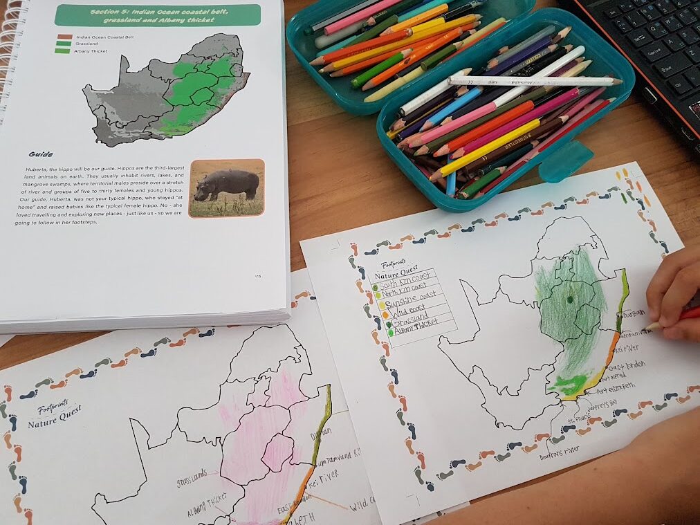
The aim is not artistic perfection. It is not even primarily about producing a beautiful map but about developing an understanding of where things are and how they relate to one another.
When a child draws the route of a journey he has just read about, he is doing more than copying lines from a textbook. He is showing that he has followed the journey and understood its geographical context.
That is a form of narration. Learn more about Narration in a Charlotte Mason Homeschool
Personalise your Map
There is no need for every child’s map to look the same, whether its a printed map or a wall map. (We recommend that you use both versions.)
In fact, one of the pleasures of this kind of mapwork is allowing children to make decisions about how they want to represent what they are learning.
A child might use one symbol for historical events and another for geographical features. She might draw arrows to show a journey or use different colours for different migration routes. She might add a small note beside a town because he remembers something particularly interesting about it.
The map becomes a personal expression of her learning.
This is very different from being handed a blank map and instructed to label a predetermined list of places for a test.
The information has come from somewhere meaningful: a story she has heard, a book she has read, a place she has visited or something he has discovered.
She is adding it because it has become part of what she knows.
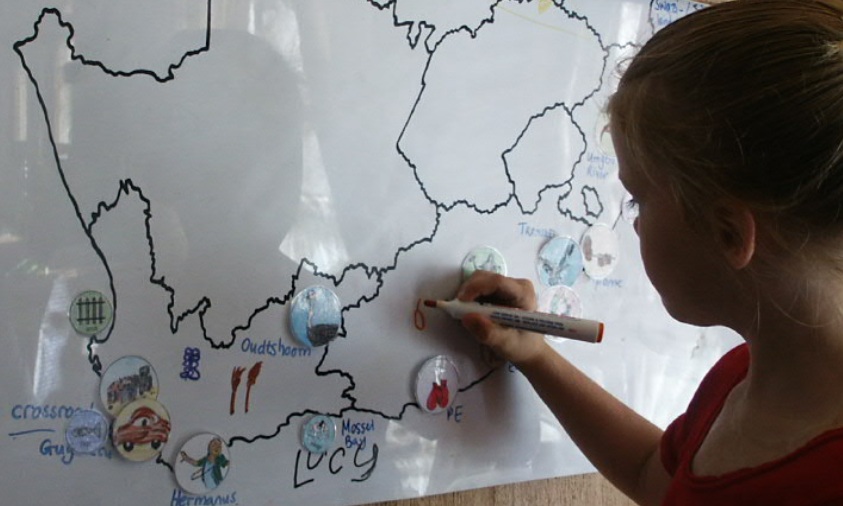
Make the Map a Record of Learning
This is where a large wall map can become particularly useful.
Instead of completing a printed map worksheet and putting it away, children can gradually add to a map that remains visible.
- A river appears in a history story, so they mark it.
- A mountain range is introduced in geography, so they add it.
- A migration route is discussed, so they trace it.
- A town becomes important in a story, so they find it.
- A battle takes place, so they mark the site.
- A journey crosses several provinces, so they follow it from one place to another.
The map changes as the child’s knowledge changes.
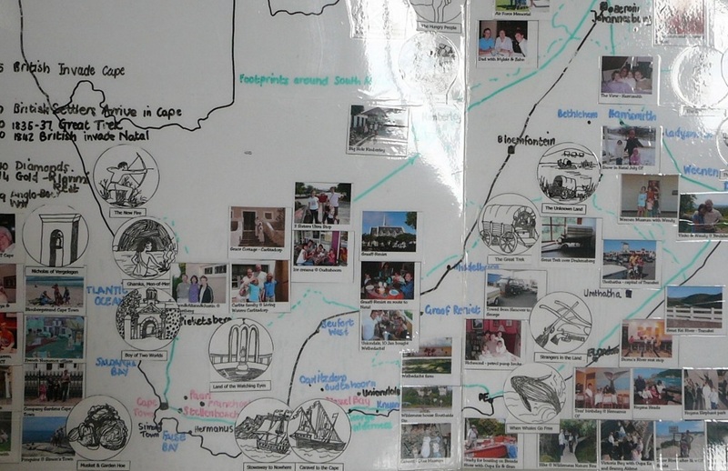
Over time, the wall map becomes a visual record of the stories, people, places and ideas that have passed through your homeschool. You can take a photograph of it to save for your memories and for your records.
One of our Footprints families took a year to tour South Africa and they added their own family photos to record their memories of places they visited. Afterwards, they laminated it all together as a permanent mapped souvenir of that special family adventure.
Mapping South Africa through its Stories
At Footprints, we particularly value this approach when children are studying South African history. Our country is not simply a collection of provinces on a political map. It is a landscape filled with stories, even our own stories!
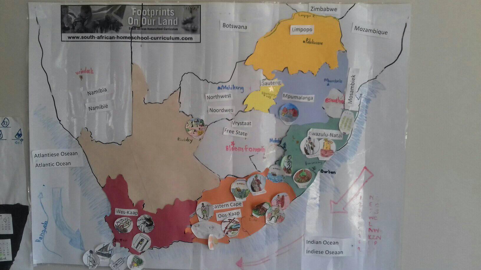

People travelled across it, settled in it, traded through it and fought over it. Rivers and mountains influenced where people could travel. Towns developed in particular places. Historical events happened in real locations that children can still find today.
A map helps bring these connections together.
That is why our history programmes include a large, poster-sized, laminated wall map of South Africa and a set of picture discs that can be used to plot places and events. The picture discs give children another visual way to connect the stories they are reading with the locations where those stories unfolded. Footprints children also use the picture discs to create a personalised Charlotte Mason timeline book.
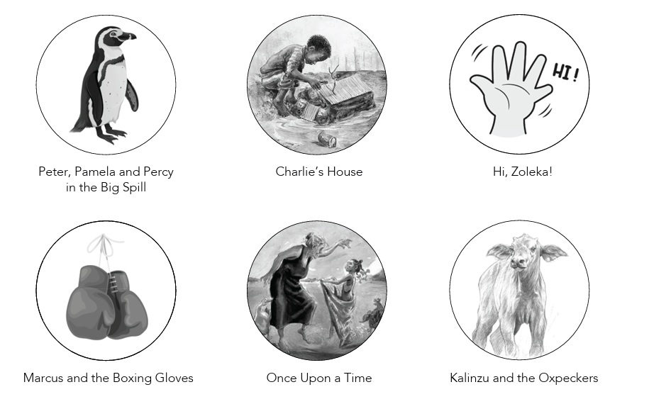
The laminated surface of the Footprints South African wall map also means that children can customise their maps with whiteboard markers. They can draw in whatever geographical features or places becomes significant in their studies. They can also erase it and use the same map again as their learning moves on.
The map does not have to be completed at the beginning of the year. It’s a project that grows with the child.
From Mapwork to a Mental Atlas
The ultimate purpose of mapwork is not to produce children who can fill in a blank map perfectly. The aim is to help them develop a sense of place. That is one of the great strengths of Charlotte Mason’s approach. Geography is not reduced to facts that must be memorised and reproduced. It becomes a relationship with the real world.
- The living book gives a place its story.
- The map anchors its location.
- The child’s work turns both the story and its location into a permanent mental atlas.
That is why mapwork is so powerful. As Footprints homeschoolers, we aren’t just teaching children to read maps, we are helping them build a mental picture of their own country and, from there, a wider understanding of the world they live in.
More about Charlotte Mason Homeschooling in South Africa
- Charlotte Mason Homeschooling in South Africa
- What is a Living Book? Why Living Books Teach More than Textbooks
- Narration in a Charlotte Mason Homeschool
- Homeschool Notebooking: An Alternative to Workbooks
- Mapwork in a Charlotte Mason Homeschool
- The Researched Advantage of Charlotte Mason Homeschooling in South Africa Today
- Charlotte Mason Timelines: Make History Come Alive
- The Benefits of Literature-based Learning
- Gentle yet Academically Rigorous: A Return to High-Quality, Personalised Education
- Why Do Nature Study?
- 6 Reasons Stories are Better than Textbooks
- Homeschooling Multiple Ages: How to Make Multilevel Homeschooling Work
We know that no one chooses home education because it’s easy, but rather because we believe that it’s worth the investment of time and energy into shaping our children’s lives.
If you could use a little reassurance, perspective, and peace in your inbox, sign up today, because sometimes, the smallest words of encouragement are exactly what keep us going.
Join the Footprints community and get your Nurture Nuggets today, packed with tips and advice from moms with over 25 years of home education experience.
Sign up today, so you don’t miss the next issue.